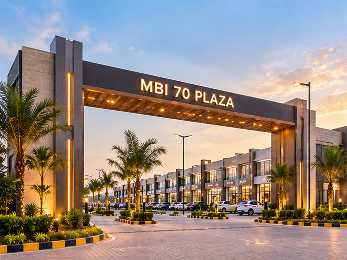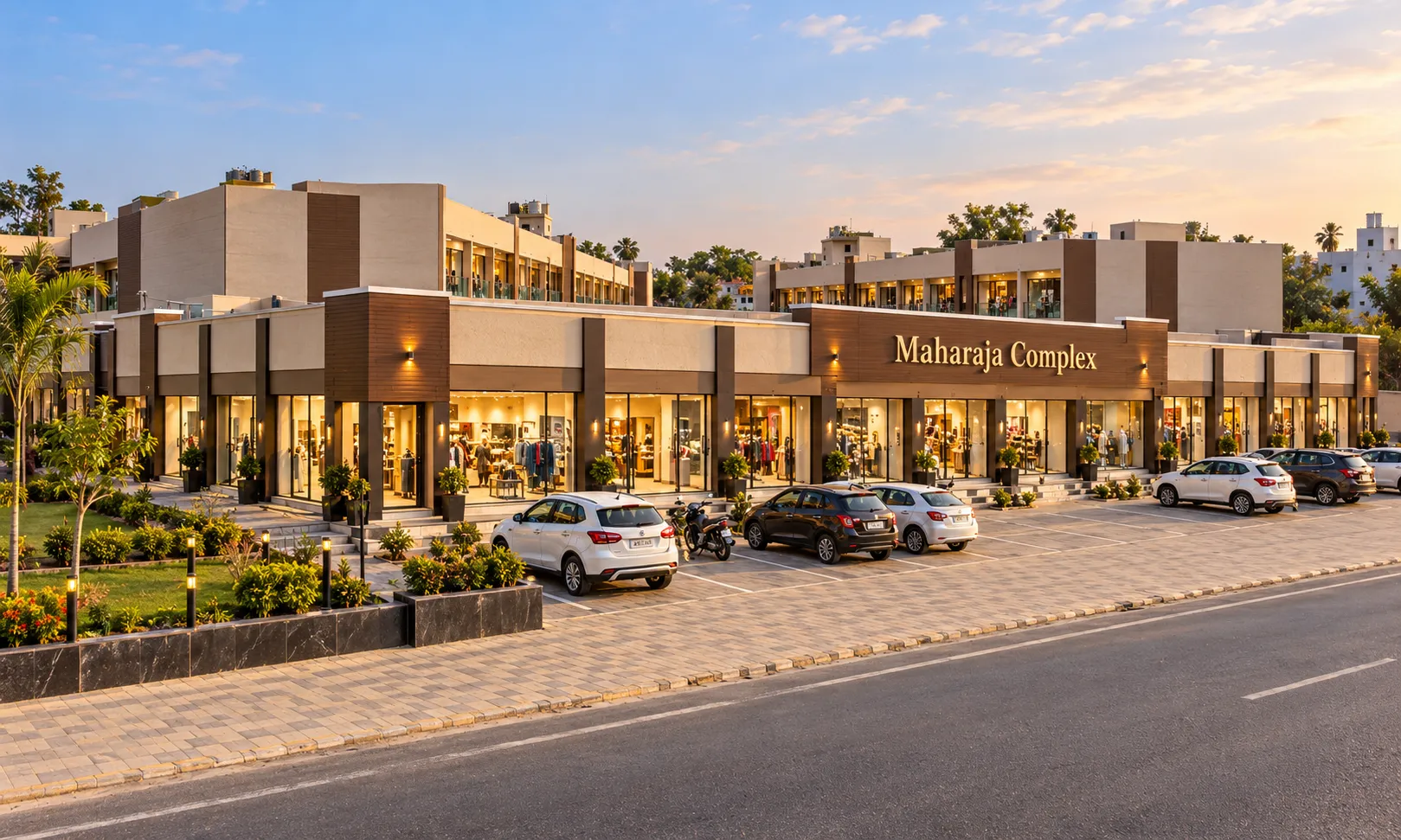
Markanda Complex
A completed MBI mixed-layout development across 89,553 sq ft, combining 60 shop units and 30 residential plots with a structured road-and-parking network and direct road context around NH-444A as shown in the supplied project plan.
View Site Plan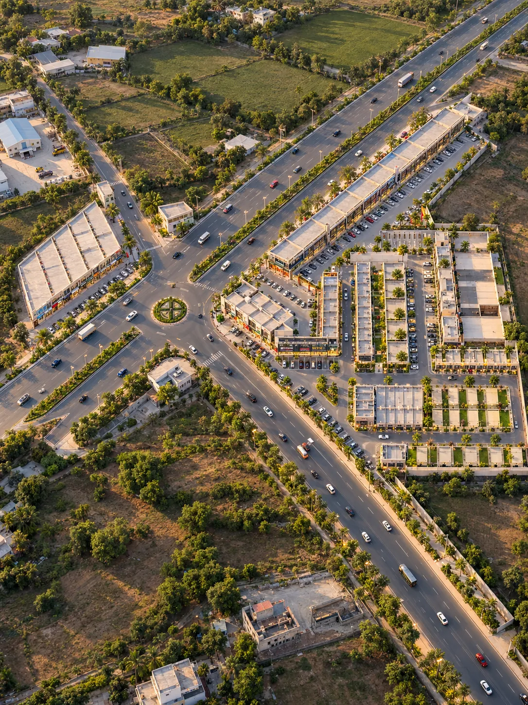 60 SHOPS • 30 PLOTS
Planning Highlights
- 60 Shops Sixty numbered commercial shop units systematically organised within the layout.
- 30 Residential Plots Thirty residential plots form the plotted component of the development.
- 36,087 sq ft Road & Parking A substantial portion of the source area chart is allocated collectively to road and parking circulation.
A Mixed Development Planned Around Shops, Residential Plots and Road Access
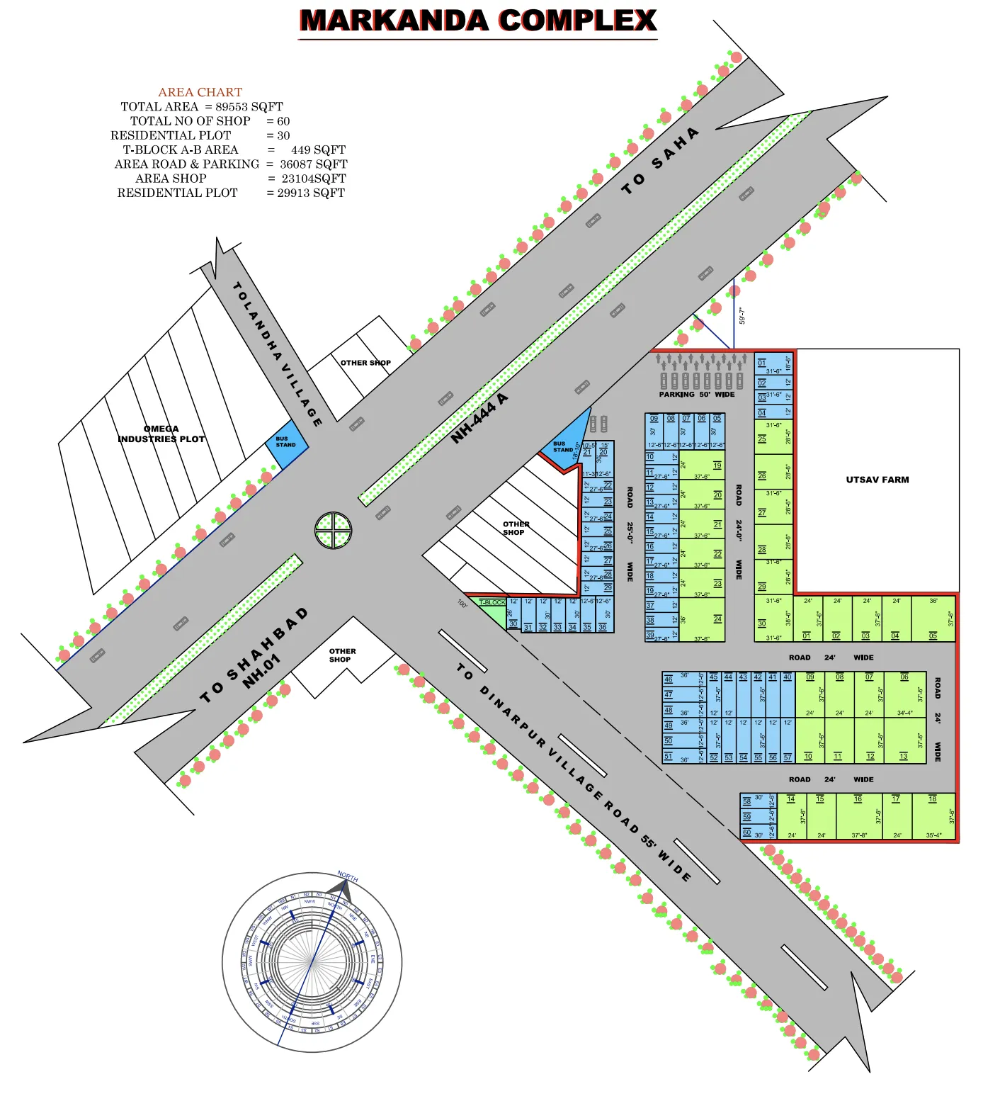
Markanda Complex is presented in the supplied project plan as a completed MBI mixed-layout development covering a total area of 89,553 sq ft. The layout combines 60 shop units with 30 residential plots across a structured internal-road system.
The project's area chart records 23,104 sq ft as shop area, 29,913 sq ft as residential plot area and 36,087 sq ft as combined road-and-parking area. A further 449 sq ft is identified as T-Block A-B area within the source plan.
The drawing also provides broader road context around NH-444A and connections toward Saha, Shahabad, Landha Village and Dinarpur Village, making the technical plan especially useful for understanding both the internal layout and its surrounding access network.
Understand the Layout Clearly
Explore the supplied Markanda Complex plan showing the shop and residential plot layout, internal roads, parking, highway context and surrounding road connections.
Recorded Area Distribution
Official values transcribed directly from page 1 of the drawing's area chart (Reconciled Sum: 89,553 sq ft):
| Source Category | Recorded Area |
|---|---|
| Total Project Area | 89,553 sq ft |
| Shop Area | 23,104 sq ft |
| Residential Plot Area | 29,913 sq ft |
| Road & Parking Area | 36,087 sq ft |
| T-Block A-B Area | 449 sq ft |
| Shops | 60 Units |
| Residential Plots | 30 Plots |
Shop and Residential Plot Layout
The supplied plan contains 60 numbered shops and 30 residential plots arranged across several blocks. Unit dimensions vary by position, including regular internal units and larger or irregular corner/end units, so the full site plan should remain the primary reference for unit-specific dimensions:
Road Access and Parking Within the Layout
The supplied layout allocates 36,087 sq ft collectively to roads and parking, with a network of 24-ft and 25-ft internal roads, a 50-ft-wide designated parking zone, a 55-ft Dinarpur Village Road connection, and highway context along NH-444A:
36,087 sq ft Circulation
Substantial area allocated collectively in the area chart for internal access roadways and vehicle parking.
24–25 ft Internal Roads
Internal road network featuring 24-ft and 25-ft-wide segments organizing circulation throughout the plots and shops.
50-ft Parking Zone
A dedicated 50-ft-wide parking strip explicitly identified in the site plan adjoining the upper project block.
55-ft Village Road
The supplied plan identifies the connecting Dinarpur Village Road as 55 ft wide, adjoining external junction routes.
Site Planning Visible in the Layout
The supplied Markanda Complex plan primarily documents property organisation, road access, parking and surrounding site context. It does not include a separate utilities or amenities schedule, so this section remains limited to elements visibly identified in the project drawing:
Layout & Circulation
- Shop and residential plot groups systematically organised into distinct blocks.
- 24-ft and 25-ft internal road network coordinating vehicle circulation.
- Dedicated 50-ft-wide parking strip and 36,087 sq ft combined road-and-parking area.
Specific Provisions & Context
- T-Block A-B provision: 449 sq ft identified in the source area chart.
- Landscape indicators and median features illustrated along thoroughfare corridors.
- Bus-stand indicators designated in surrounding junction context.
* The items above reflect site-planning features visibly designated on the supplied layout drawing. Operational status and specific civic utility provisions are subject to independent verification.
Connected Through a Major Road Junction
The supplied Markanda Complex plan places the development around NH-444A and shows road connections toward Saha, Shahabad (NH-01), Landha Village and Dinarpur Village. The drawing also identifies a 55-ft-wide Dinarpur Village Road and surrounding reference points including bus-stand locations, Utsav Farm and Omega Industries Plot.
Note: Surrounding landmarks (such as Utsav Farm and Omega Industries Plot) are geographical reference notations shown in the supplied drawing and do not constitute developer-owned properties or project amenities. Specific postal coordinates and driving directions should be confirmed independently prior to site visits.
Available Project Documentation
Looking for Information About Markanda Complex?
This development is presented as part of MBI's completed project portfolio. If you require project-related information or technical layout clarifications, submit an enquiry and select Markanda Complex so your request can be reviewed in the correct project context.
Current resale or other availability, if any, is subject to independent property ownership and formal verification.